

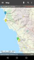
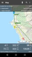
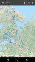
Map application for great outdoor activities.
Navigation client that uses old OziExplorer ozf2 maps and modern OSM vector maps. Great for hiking, geocaching, off-roading, sailing, boating and other outdoor activities. If you plan to use ozf2 maps you are expected to be aware of OziExplorer or at least of where to get such maps. Maps can also be created by yourself, but with some effort, see FAQ for details. If you plan to use OSM vector maps you have to download it by yourself on device. More information can be found on http://download.mapsforge.org/">download.mapsforge.org. Application can work without maps as a simple navigator. It also works with a number of online maps such as Open Street Map (via plugins, Internet connection required).
Application features:
• support for ozf2 maps (ozfx3 maps can be opened but not guaranteed)
• support for OSM vector maps
• support for online maps
• support for SAS.Planet maps cache
• works without maps as a simple navigator
• track recording in background (power-safe)
• navigation to waypoint and via route
• track to route conversion
• route creation and manipulation
• works with waypoints, tracks and routes in Ozi format
• reads waypoints, tracks and routes in KML and GPX format
• HSI and compass
• configurable units
• UTM coordinates
• search for locations via Google geocoder
• location and waypoint sharing
• portrait and landscape modes
• tablet support
Functionality can be extended by plugins:
• receive coordinates via text messages (sms)
• receive coordinates from tracker devices
• share location in real time
Androzic is free and open-source. It is distributed under GNU GPL v3 license. More information can be found on http://Androzic.com/
Caution! Modern versions of Img2Ozf generate maps in new encrypted format, they won't open in Androzic. Please use older versions of Img2Ozf, last known good version is 3.03.










 Download